










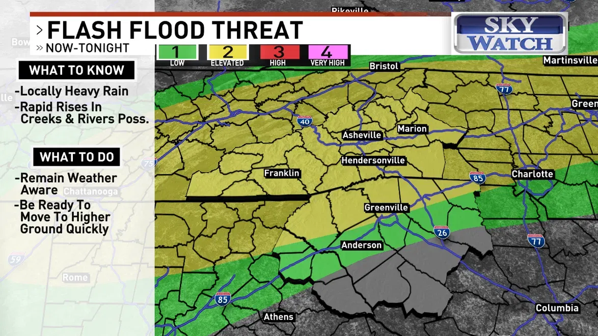
ASHEVILLE, N.C. (WLOS) — A slow-moving cold front will slip into the region Wednesday evening and overnight, leading to more heavy rain and thunderstorms.
Rainfall rates could exceed 2 inches per hour in some cases, leading to an increased flash flood threat.
In response to this, the National Weather Service has issued a flood watch until 8 p.m. Thursday, July 23, for all of western North Carolina.
RECORD-BREAKING RAIN DRENCHES ASHEVILLE, WITH MOST FALLING IN 2 HOURS
JULY 22, 2026 - The National Weather Service has issued a flood watch until 8 p.m. Thursday, July 23, for all of western North Carolina. (WLOS)
JULY 22, 2026 - The National Weather Service has issued a flood watch until 8 p.m. Thursday, July 23, for all of western North Carolina. (WLOS)
Be ready to move to higher ground quickly if any warnings are issued for your location/county, or if you feel flood waters are threatening your property.
The heaviest rainfall is expected to shift southward Thursday, but many will remain at risk for at least isolated flash flooding through then.
--
